Vizart’s Cartography Corner

The Second Chance collection features maps returned simply because a customer changed their mind. After a meticulous inspection, they are offered again in excellent condition at 25% off. A great opportunity to own an original VizCart map at a special price, shipped directly from our studio in Italy.

The city now known as Oslo has changed its name several times throughout history, reflecting political and cultural shifts. Originally called Oslo in the Middle Ages, the city was renamed Christiania after the devastating fire of 1624, when King Christian IV of Denmark-Norway ordered it rebuilt and named it in his honor. In the 19th century, the spelling evolved to Kristiania as part of a broader movement to Norwegianize the language. Following Norway’s independence from Sweden in 1905, national sentiment grew stronger, and in 1924 parliament decided to restore the original medieval name.

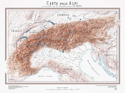
Collection of shaded relief maps of Italian cities restored and created by vizart.

This article explores the digital restoration process of a historical 1910 map of Milan, highlighting the main challenges involved in restoring antique maps, such as missing sections, age-related stains, folds, and color degradation. Through a real case study, it shows how historical research and the comparison with archival maps can recover lost details, including original street names. Map restoration is presented as a crucial first step in transforming an antique map into a modern shaded relief artwork that remains historically accurate while gaining a renewed visual impact.

This project showcases the creation of four custom city maps commissioned as 80×60 cm fine art prints on matte paper. Each map was designed with a unique color scheme, complementary tones across pairs, and detailed representation of major roads. The challenge was to translate the client’s vision into precise cartographic artwork. Using OpenStreetMap data combined with LIDAR elevation data, we crafted maps that blend accuracy, design, and artistic expression.
MA CON GRAN PENA LE RECA GIÙ If you studied geography at any Italian...