
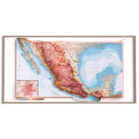
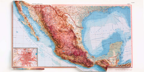
The Pergamon World Atlas stands as a remarkable achievement in 20th-century cartography, born from a collaboration between the Polish Army Topographical Service and the British publishing house Pergamon Press. Released in 1968, this English-language edition is based on the Polish Atlas Świata, developed between 1960 and 1968.
Military Origins and Global Aspirations
Initially conceived as a military project, the Atlas Świata evolved into a comprehensive civilian publication. Printed in a 40x32 cm format, it comprises 524 pages, including 382 pages of physical, political, and thematic maps. An extensive index of  approximately 150,000 entries, a pronunciation guide, and a geographical glossary accompany the maps. A total of 242,000 copies were produced: 205,000 in Polish and 37,000 in English, the latter commissioned by Pergamon Press for international distribution .
Distinctive Features
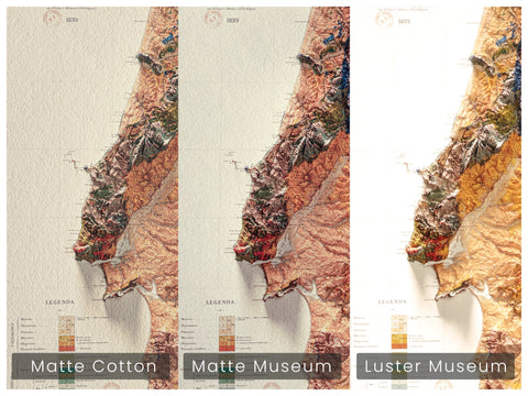
The Pergamon World Atlas is notable for its exceptional cartographic quality and aesthetic appeal. Weighing nearly 5.5 kilograms and encompassing 48 square meters of maps, it offers over 400 thematic maps covering land use, agriculture, demographics, and transportation. Each country is presented with a dedicated information sheet and its national flag. The atlas employs a post and screw binding system, along with fold-out maps, facilitating ease of use and preserving the integrity of the central gutter.
 Recognition and Subsequent Obscurity
Despite its significance, the atlas received limited international attention, with only two notable reviews: one in Geographical Magazine (1968) and another in The Canadian Cartographer (1969). Political events in Poland, including the severance of diplomatic ties with Israel in 1967 and internal unrest in 1968, contributed to its decline in prominence. Accusations against the editorial team regarding the depiction of Jerusalem further marred its reputation. Consequently, the atlas was largely neglected until the early 2000s, when it was reevaluated as a masterpiece of Polish cartography .

References
-
Wikipedia: Pergamon World Atlas
-
BazTech: Atlas Świata Służby Topograficznej Wojska Polskiego
-
David Rumsey Map Collection: Pergamon World Atlas


Comments (0)
There are no comments for this article. Be the first one to leave a message!