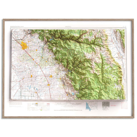
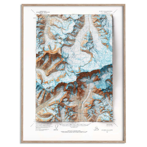
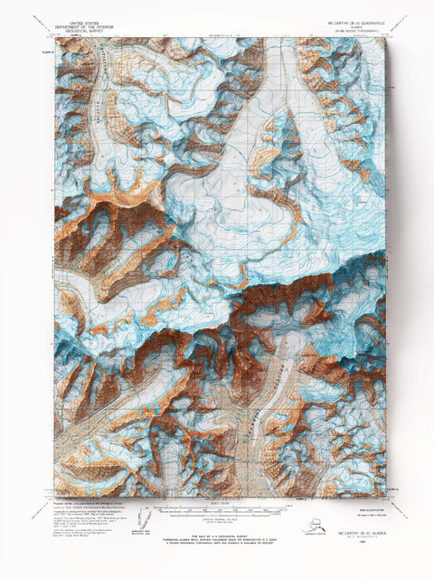
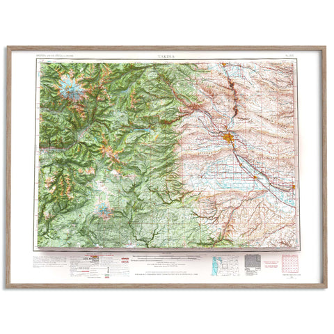
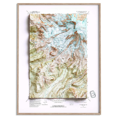
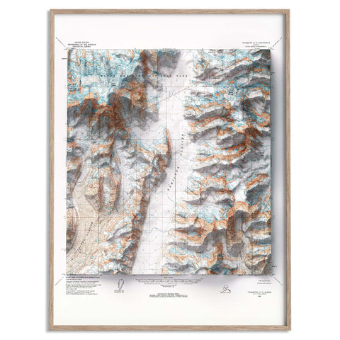
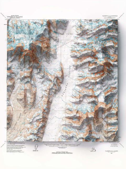
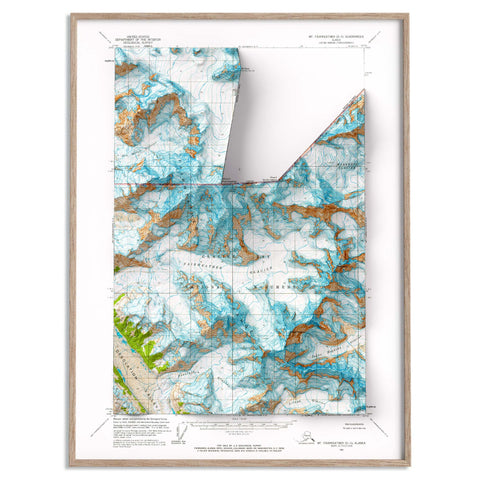
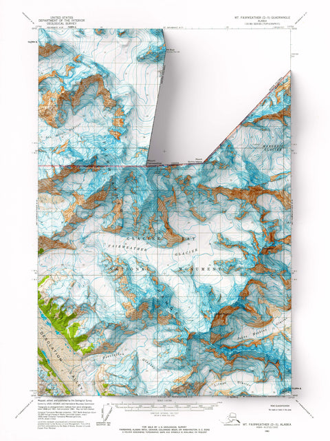
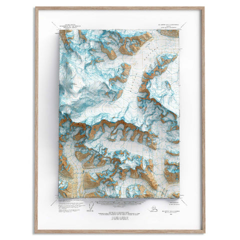
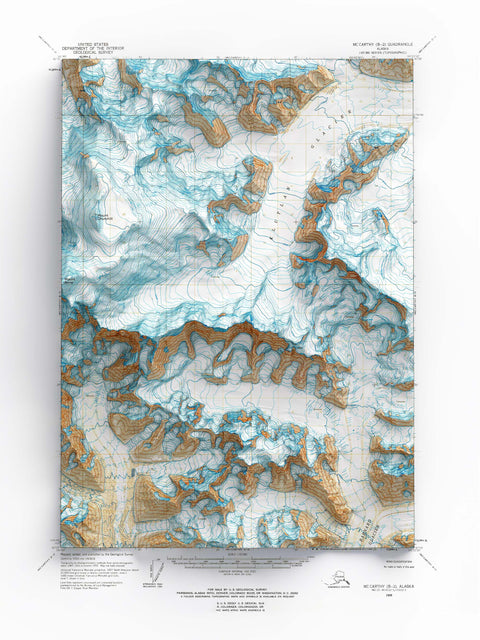
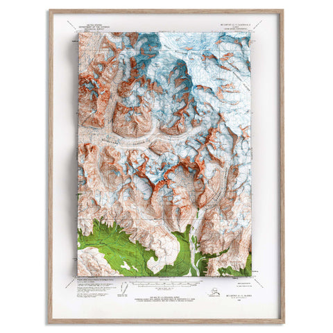
Welcome to VizCart.io's collection of shaded relief maps showcasing the highest mountain peaks in the United States. Find detailed and accurate depictions of America’s most iconic summits, dedicated to explorers and cartography enthusiasts.
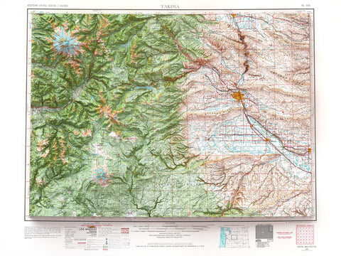
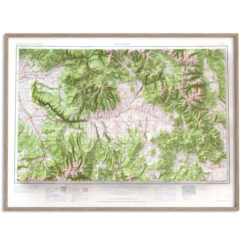
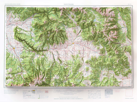
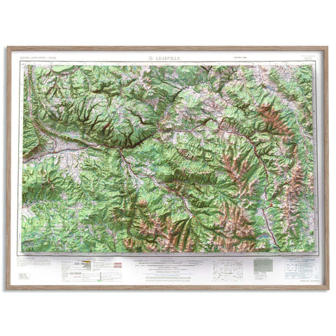
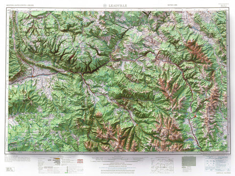
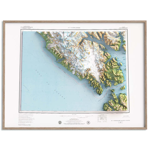
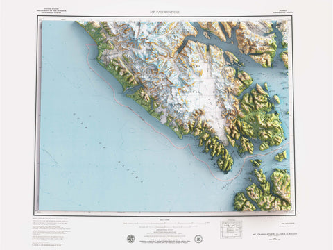
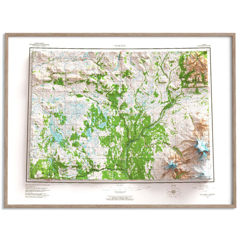
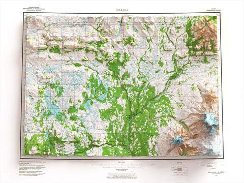
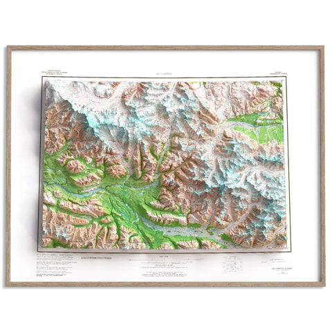
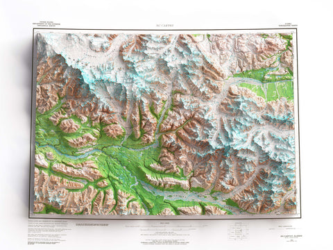
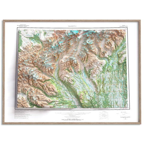
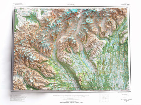
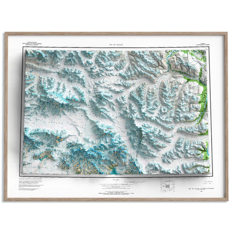
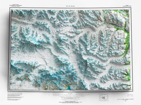
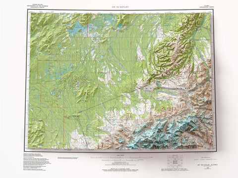
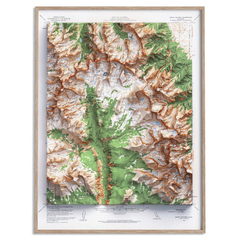
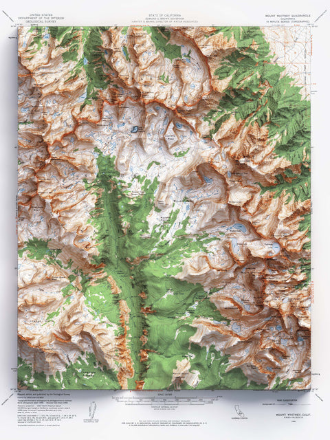
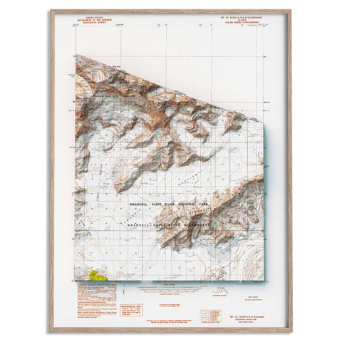
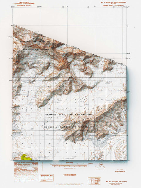
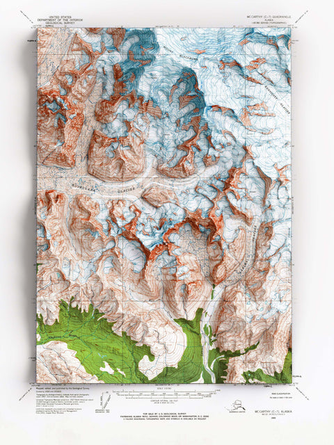
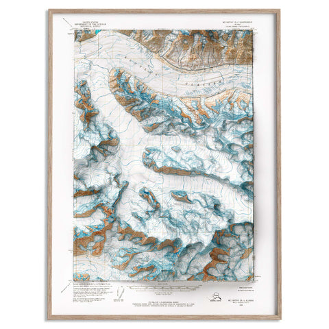
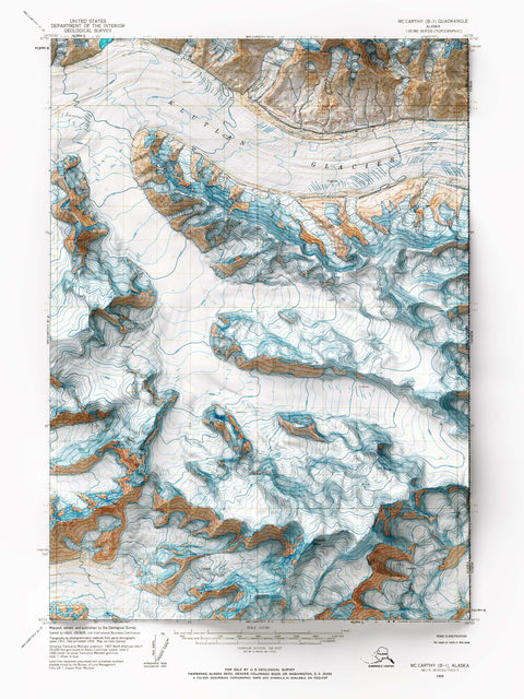
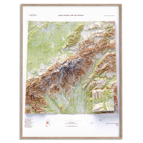
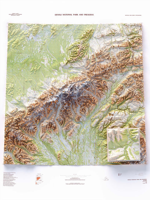
Our maps are crafted using official USGS topographic map, including the 1:63360-scale quadrangle, 1:62500-scale quadrangle and National Park Series. These maps feature shaded relief techniques to deliver a stunning three-dimensional representation of mountainous landscapes.
Discover maps of legendary peaks such as Mount Denali, Mount Rainier West, Mount Whitney, Mount Blackburn, Mount Fairweather, Mount Foraker, Mount Saint Elias, Mount Bona, Mount Bear, Mount Saford, Mount University Peak and many more. Each map captures unique details, allowing you to virtually explore these majestic summits and their surroundings.
Perfect for hikers, collectors, and nature lovers, these maps blend aesthetics with functionality, making them an essential addition to any geography enthusiast’s collection wall. Explore the collection and be inspired by the grandeur of America’s peaks.