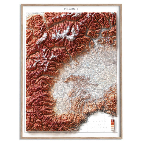
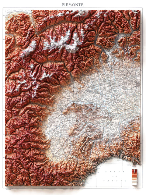
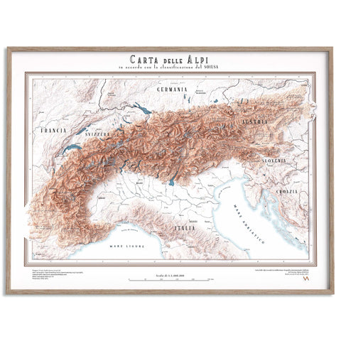
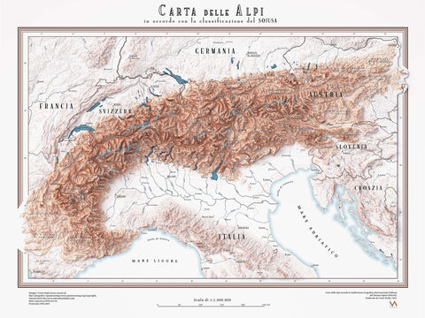
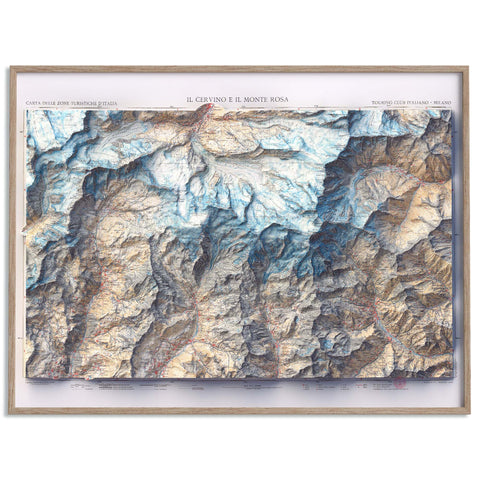
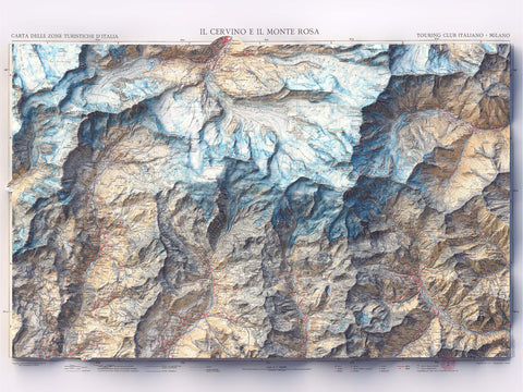
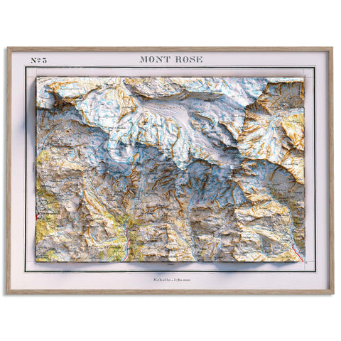
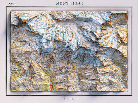
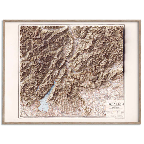
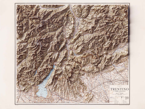
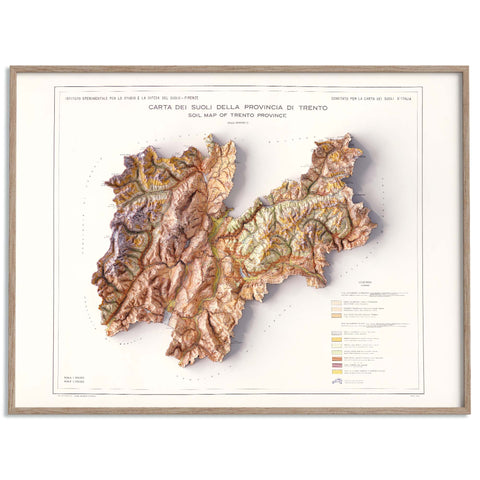
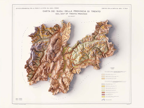
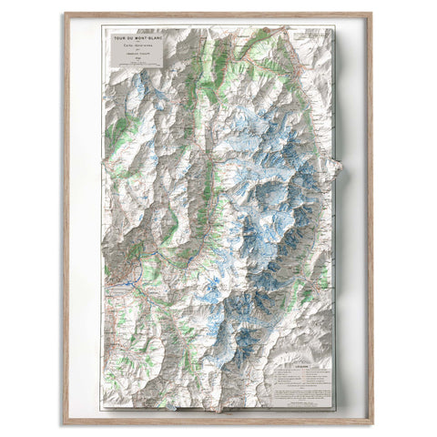
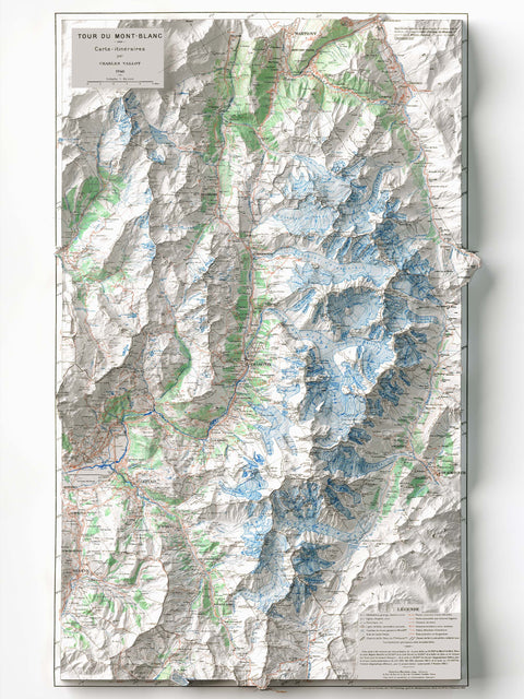
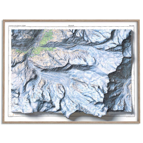
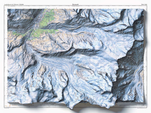
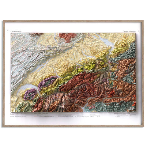
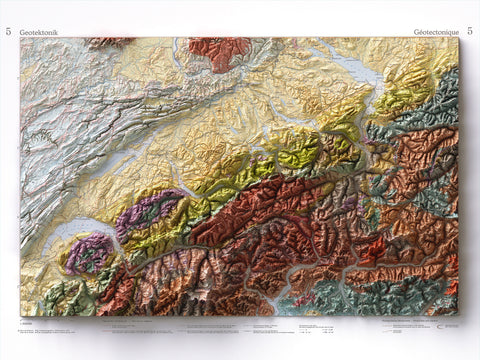
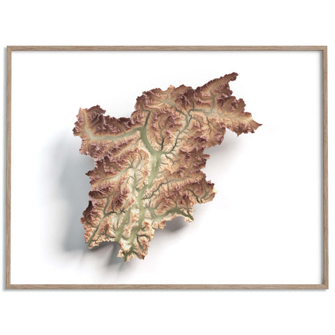
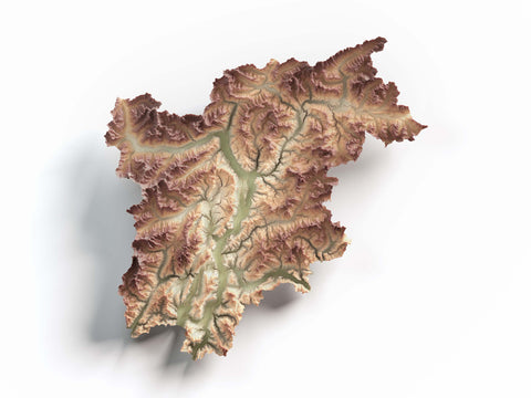
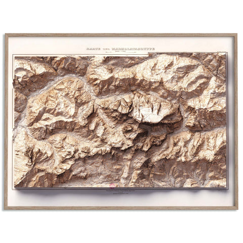
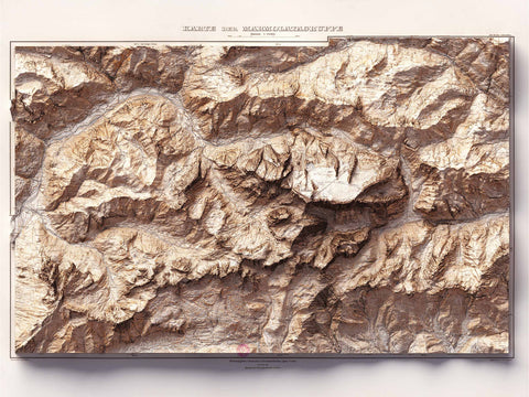
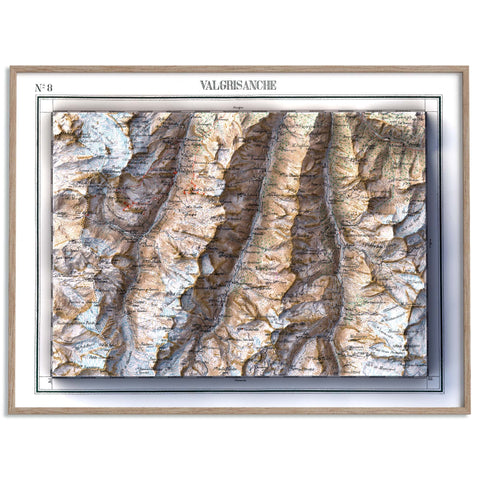
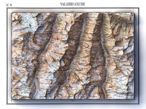
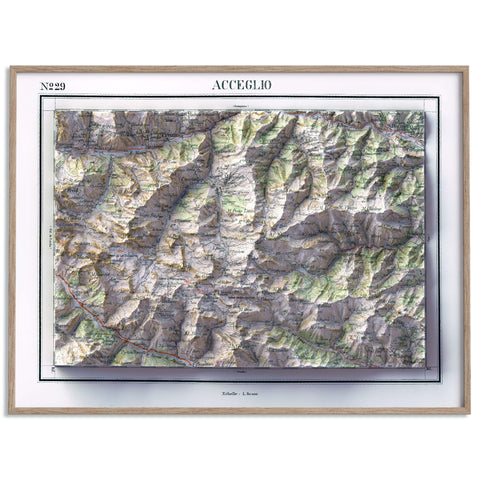
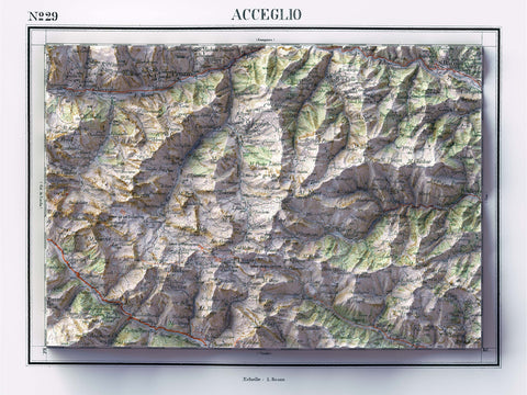
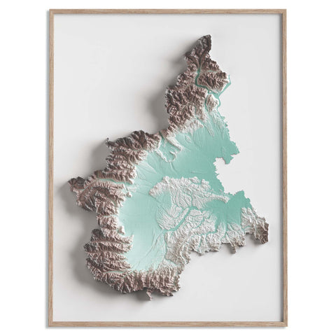
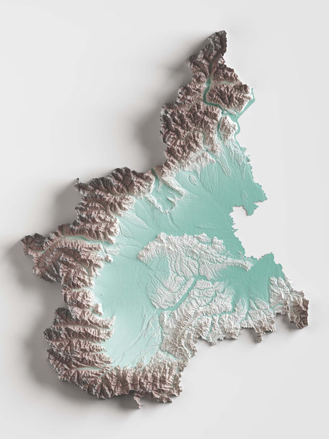
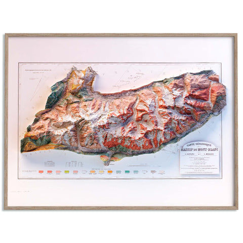
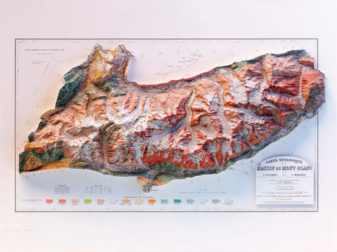
Welcome to VizCart.io’s collection of shaded relief maps of the Alps. Discover detailed cartographic prints depicting one of Europe’s most spectacular mountain ranges, created for mountain lovers, travelers, and cartography enthusiasts.
Our maps are produced using high-quality geographic data, along with carefully restored historical sources and original modern maps created by us. Each print highlights the dramatic terrain of the Alps through shaded relief techniques that reveal the depth, ridges, and valleys of this iconic mountain range. Printed in high definition on premium-quality paper, these maps combine scientific accuracy with refined cartographic design.
The collection features some of the most famous Alpine landscapes, including the spectacular peaks of the Dolomites and the imposing summit of Mont Blanc, the highest mountain in the Alps. Each map captures the distinctive geological beauty that makes the Alpine region one of the most fascinating mountain environments in the world.
Perfect for mountain enthusiasts, hikers, travelers, and collectors, these cartographic prints blend geography, exploration, and visual art. Whether displayed at home, in an office, or in a mountain cabin, they bring the timeless charm of the Alps into any space.