As mentioned in the previous post, this is part of a series of two maps we made on request.
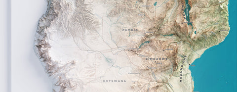
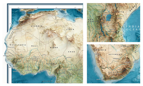
This project was to focus on the southern part of Africa, showing rivers, lakes, roads and capitals, to which other cities were added, some chosen by us, others requested by the client.
The procedure is similar to that of the Africa map: first of all the most suitable DEM was chosen and the texture for the basic colouring was created.
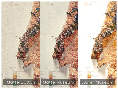
In this case, no bathymetric survey was carried out, the slight variations in water colour are not accompanied by a relief.

We designed the space in the sheet to center the map and place title, borders and legend informations.
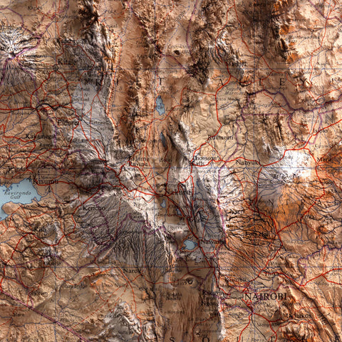
At this point we start the rendering tests and in the meantime we take the information for labelling and the urban and natural elements to be inserted.
Render result look like this:
|
Without texture |
 With texture and color correction
|

At this point we spent days positioning, adjusting and modifying the labels, just to make them perfect and readable, which is essential.

We are ready to combine all the elements together and create the new map of southern Africa.

|
 |
 |

That's it!
To create this map we used data from OpenStreetMap and elevation data from SRTM5.
Comments (0)
There are no comments for this article. Be the first one to leave a message!