
This project documents the creation of four custom city maps commissioned by a client.
Each piece was designed as an 80×60 cm landscape fine art print on matte paper.
The brief was highly detailed: every map had to feature a distinct color scheme, with each pair using complementary tones, and all major roads accurately represented.
One of the greatest challenges in projects like this is translating the client’s vision into a tangible design—capturing what they imagine and bringing it to life. That was the starting point of our work.
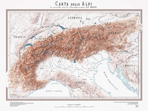
To build the maps, we relied on data from OpenStreetMap and integrated LIDAR elevation data to shape the final compositions.
SEVNICA
Mixed layers with Relief, texture and finalmap.

The final result.

LJUBLJANA
Mixed layers with Relief, texture and finalmap.

The final result.

LUXEMBOURG
Mixed layers with Relief, texture and finalmap.

The final result.

VIENNA
Mixed layers with Relief, texture and finalmap.

The final result.

Love the Vizart style? Let’s create something unique together—discover how by following the link.

Comments (0)
There are no comments for this article. Be the first one to leave a message!