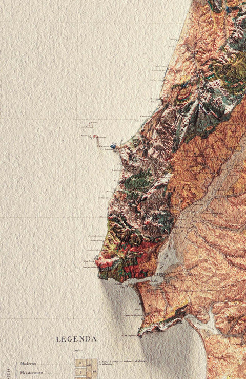
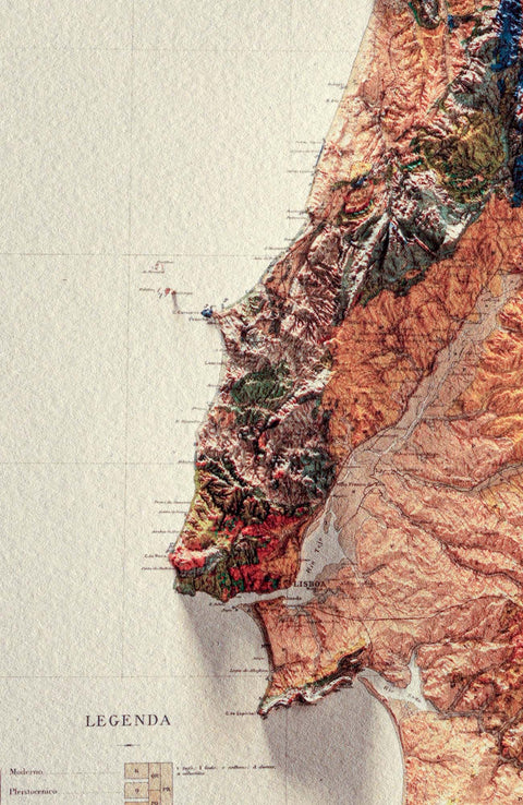
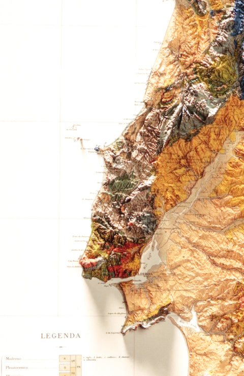
Mediterranean Sea Bathymetric

Topographic map - 1937

 
€50,00
Size
Material
 
Tax included. Shipping calculated at checkout.
€50,00
 
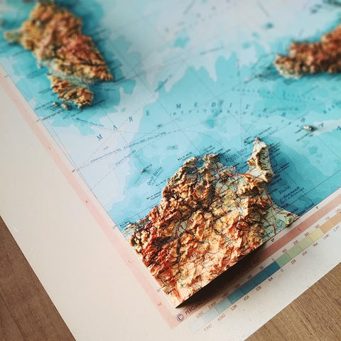
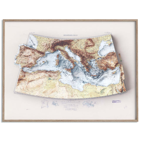
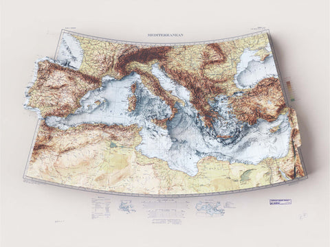
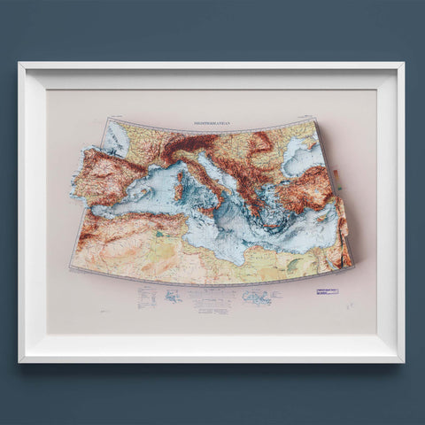
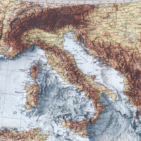
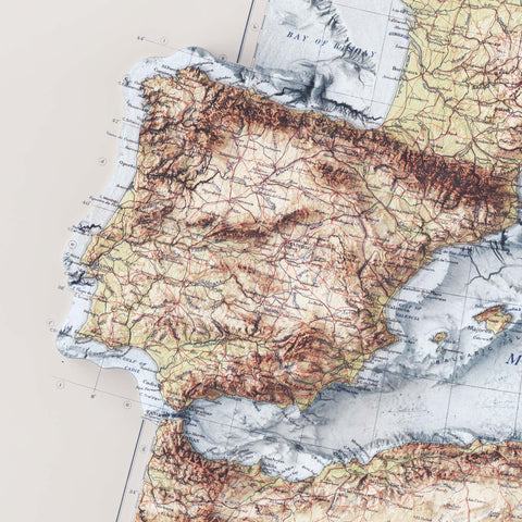
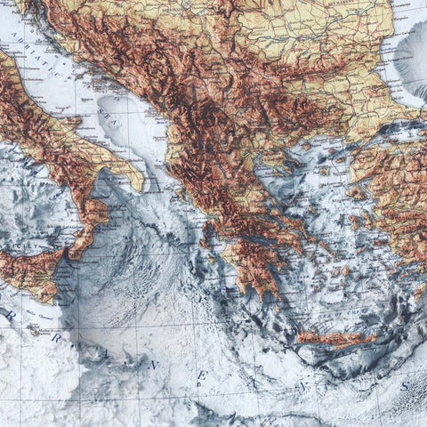
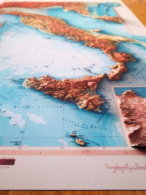
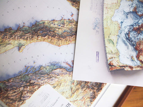
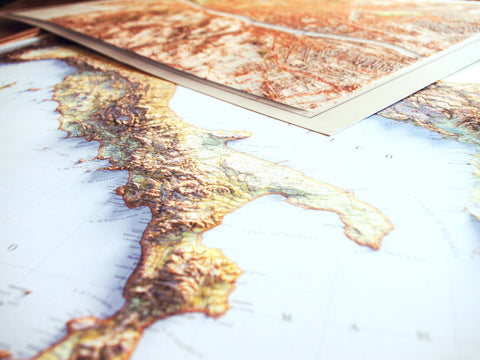
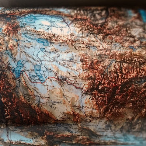
2D printed shaded relief map with 3D effect of a topographic map of Mediterranean Sea with bathyimetric, prepared and published by General Staff United Kingdom War Office in GSGS 2957 in 1937.

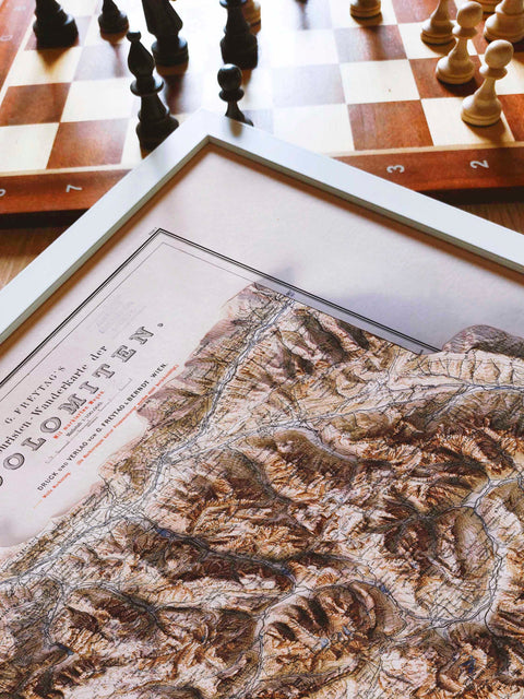
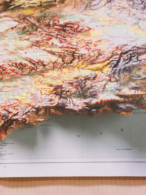
Our products are 2D prints with 3D effect, so they are FLAT to touch and NOT raised or 3D maps.
You might have the feeling that it is 3D printed, but it is not, it is
printed on paper and it is in 2D, so there is not a real relief to
touch.

We start from a 3D models digitally rendered and then we print on high quality paper, to show the relief of the territory, through the elaboration of Digital Elevation Model data.

We don’t have any storage because each item is custom made, printed only when an order is received, to ensure an excellent quality of the paper and ink.

We follow the production of prints in all its steps, communicating directly with the laboratory to which we entrust the printing process.
Your photo is checked by hand, given a protective cover and placed in art-secure packaging.

To avoid issue with carrier, we suggest to our customer to include a mobile phone. In this way if some issues pop on (you are not at home, carrier does not find your address) they can get in touch with you and solve it, without a rescheduling or a return back of print.

World, Mediterranean, Series: GSGS 2957, Sheet 31A, 1937. Geographical Section, General Staff, War Office, United Kingdom.
Source: Australian National Education Library.

β˜… Maps are printed in 2D. They are flat to touch, and not 3D or raised.
β˜… Maps are to be considered as piece of art and art decor and not as technical map.
β˜… Frame is included only for "White Frame" material.
β˜… Text can be difficult to read due technique used and for small print size.
β˜… To know more read our FAQ, check our website at vizart.io or contact us by a message.

We have adopted a range of selected papers to allow a better choice:

β˜… Photographic papers

Matte Museum Paper
Β Β Β  β€’ 200 gsm
Β Β Β  β€’ brilliant catch light effect, intense color contrasts and extraordinary durability
Β Β Β  β€’ matte finish

Luster Museum Paper
Β Β Β  β€’ 260/220 gsm
Β Β Β  β€’ vibrant colors, bright whites, deeper color saturation that matte
Β Β Β  β€’ resistant to fingerprints
Β Β Β  β€’ vegan and made from sustainable sources
Β Β Β  β€’ semi-gloss/velvet finish

β˜… Cotton paper

Matte Cotton Paper (HahnemΓΌhle Photo Rag)
Β Β Β  β€’ Vegan, plastic free and made from sustainable sources
Β Β Β  β€’ 308 gsm, 100% cotton
Β Β Β  β€’ characteristic, beautiful defined felt structure
Β Β Β  β€’ acid- and lignin-free
Β Β Β  β€’ ISO 9706 conform / museum quality for highest age resistance
Β Β Β  β€’ matte finish

β˜… White Frame

Paper
Β Β Β  β€’ 200 gsm
Β Β Β  β€’ brilliant catch light effect, intense color contrasts and extraordinary durability
Β Β Β  β€’ matte finish

Frame
Β Β Β  β€’ Wood with white finish
Β Β Β  β€’ Protective Perspex Glaze
Β Β Β  β€’ Ready to hang

Frame dimensions
Β Β Β  β€’ Depth from wall: 22mm
Β Β Β  β€’ Face width: 20mm
Β Β Β  β€’ Rebate width: 5mm
Β Β Β  β€’ Rebate depth: 17mm

In any case, if you have no previous experience, we suggest to choose cotton paper or matte for hypsometric images and luster paper for
topographic and geologic maps.

Mediterranean Sea Bathymetric, Topographic map - 1937
From €50,00

Quickly FAQ

No! Maps appear to be Raised Relief Maps or 3D printed due a technique that tries to give through lights and shadows relief to the ground (Shaded Relief). They are flat to touch and printed on paper.

Text on the map can be difficult to read, for several reasons. Technique used to create 3D effect can covering some of the text and also due font size. In particular it can be hard to read maps' legend with small print size, it will be visible but a magnifying glass might be needed to read the legend text. So if you want to be able to read text we recommend to order a larger print to ensure a better readability.

Maps are to be considered as piece of art and art decor and not as technical map. This means that the colors may vary significantly from the original and text may not be fully legible.

Standard shipment cost are free for all World Countries. If your Country is not included in our list and you want to be sure about shipment cost, contact us to avoid issues. Delivery times are 5-10 business day for Italy, European country and USA; 3-8 business day for UK; 10-15 business day for Everywhere else.

If your country is not included in our delivery profile, please contact us to know if we can delivery to your address and to get more information about shipment cost and delivery time.

We accept custom orders where you can choose details like: place, color, size and material. Custom prints do take a little extra time to be created, so the price is higher (we can be sure about price increase only with your details). Also if you choose some particular material or large size print it can be apply extra shipment cost. Contact us to know more info and place your custom order!

What we offer

Quality is a must for us. Giglee printed on supreme Cotton paper

Museum quality

We ship all over the World, with free shipping

Free international shipping

14 days to change idea 100% refunded, 30 days to send it back

Exchange & refund

Secure shipping? We got it covered! Damages? Full refund or re-ship at no cost for you

Secure shipping

Why choose Vizart

Our suprume Hahnemuhle Cotton paper 100% cotton rag, VizCart by VizArt

GiclΓ©e prints

Our fine art cotton prints are realized with the GiclΓ©e tecnique. This gives smoother gradient transitions and a wider colour gamut which results in more depth and richness to the final print.
Vintage digally restored map, VizCart by VizArt

Restored map

Our maps are carefully digitally restored to remove imperfections due to poor preservation and natural aging, to restore the image to its original appearance and improved readability.
Check our high quality printed shaded relief map, VizCart by VizArt

High quality details

We pay a lot of attention to detail to ensure that each map is of the highest quality. That's why we've worked months to choose papers and test the print.
Reach us to ask information about custom shaded relief map, VizCart by VizArt

Custom map

We accept requests for custom map, so if you do not find your map, get in touch with us to find one. Given the work required, customization has an additional cost.

Why our cotton paper

Vegan friendly paper, with no animal ingredients

Vegan-friendly

There are no animal or genetically modified ingredients.
We do not use plastic in our prints

Plastic-free

There are not plastic.
Our maps are create only with sustainable forests

Sustainably sources

Sustainable forests. FSC- or PEFC-certified. Only primary fibres.
Our maps come from 100% renewable energies with sustainably process

Sustainably process

Electricity 100% renewable energies. No water chemical treatment.